Notifications

6 minutes, 38 seconds
-63 Views 0 Comments 0 Likes 0 Reviews
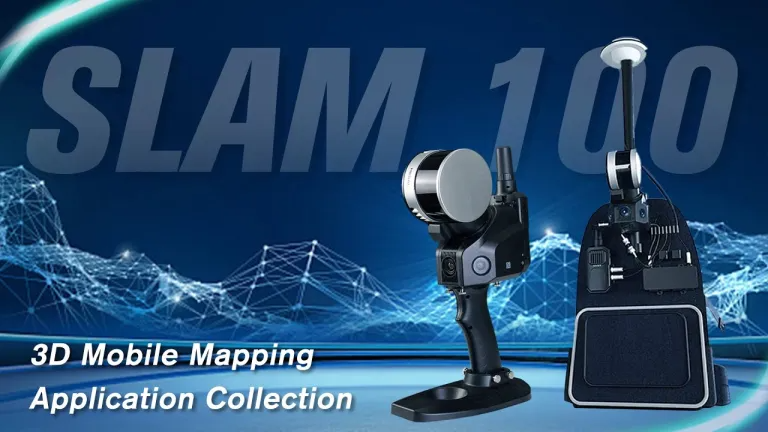
In recent years, surveying technology has taken a quantum leap forward, thanks to innovations in portable LiDAR scanners. Foxtech Robotics has emerged as a frontrunner in this field, offering handheld devices that transform traditional surveying methods into quick, accurate, and highly efficient processes. Gone are the days of cumbersome equipment, extensive setup times, and limited mobility; today’s professionals demand tools that can move seamlessly into difficult terrains, tight spaces, and complex environments. Foxtech’s portable handheld LiDAR scanners address these demands head-on by integrating advanced laser sensing, intuitive user interfaces, and compact design into devices that fit comfortably in a single hand. This evolution not only enhances productivity but also opens new possibilities for detailed survey work in inaccessible locations, making it an indispensable asset for modern surveyors.
One of the defining features of Foxtech’s handheld LiDAR scanners is their impressive portability. Compact and lightweight, these devices are designed for easy transport and operation in the field. Unlike traditional terrestrial scanners that require large tripods or vehicle mounts, Foxtech’s handheld units can be carried effortlessly and operated with minimal setup. This makes them ideal for quick site assessments, indoor inspections, or outdoor surveys in challenging environments. The user interface is purposefully simple, featuring touchscreens and ergonomic controls that allow surveyors of all experience levels to quickly learn and operate the device efficiently. Whether working in narrow urban alleyways, forested areas, or construction sites with limited access, surveyors can leverage these scanners to rapidly collect high-density point cloud data, significantly reducing overall project time and increasing operational flexibility.
Accuracy is paramount in surveying, and Foxtech Robotics’ handheld LiDAR scanners excel in delivering high-precision data. Equipped with state-of-the-art laser sensors capable of capturing millions of points per second, these devices produce dense and detailed 3D point clouds that faithfully represent real-world environments. This level of detail allows surveyors to measure and analyze complex structures, terrains, and urban landscapes with remarkable precision. Additionally, integrated sensors such as inertial measurement units (IMUs) and optional GPS modules help bolster positional accuracy even in environments where satellite signals may be weak or unavailable. The end result is highly reliable data that supports precise measurements, effective planning, and confident decision-making, all while minimizing errors and rework—an essential requirement for professional surveying projects.
A key advantage of Foxtech’s handheld LiDAR scanners is their ability to provide real-time data visualization during scanning operations. As the device captures laser points, it processes and displays the environment instantly on the user’s tablet or controller. This immediate feedback allows surveyors to confirm coverage, identify gaps, and adjust their scanning approach on the fly. The real-time environment mapping significantly improves efficiency, especially in time-critical projects such as disaster response, excavation planning, or construction progress tracking. The ability to see the data as it accumulates helps avoid redundant scans and ensures comprehensive coverage of the surveyed area. This feature empowers professionals to make smarter decisions in the field, reduce rework, and deliver more accurate, reliable results within shorter timeframes.

The versatility of Foxtech’s handheld LiDAR scanners is a significant reason why they are adopted across a broad spectrum of industries. Surveyors working in geospatial mapping find them ideal for creating detailed topographic models and city planning. Archaeologists use them to document historical sites with high detail, often without physical contact that could damage delicate structures. Environmental engineers leverage the devices for forest canopy analysis, vegetation mapping, and eco-system health assessments. In industrial contexts, these scanners facilitate factory layout inspections, maintenance, and structural assessments in confined spaces. Construction teams utilize them to verify blueprints against the finished site, providing snapshot data that supports quality control. Their multi-environment adaptability makes them a vital tool for any professional requiring high-precision data collection in diverse, often challenging locations.
Foxtech’s handheld LiDAR scanners don’t just excel in data capture—they are designed for smooth integration into existing workflows. Wireless connectivity options enable rapid transfer of point cloud data to laptops, cloud platforms, or GIS systems for further processing and analysis. Compatibility with various software solutions allows surveyors and engineers to integrate LiDAR data seamlessly into CAD models, BIM workflows, or GIS databases. This integration dramatically enhances productivity by enabling quick visualization, annotation, and sharing of survey results with team members or clients. Furthermore, cloud storage and remote access capabilities mean that data can be reviewed and analyzed from anywhere, fostering collaboration across teams and geographic locations. These workflow enhancements ensure that data collection translates directly into actionable insights, helping organizations make smarter, data-driven decisions faster.

